2022 Map of Walters
USGS Topo · Published 2022About this map
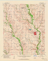
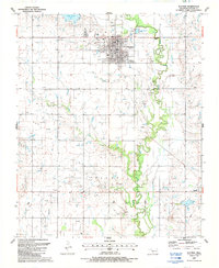
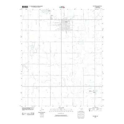
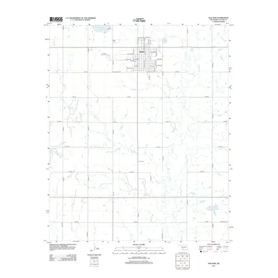
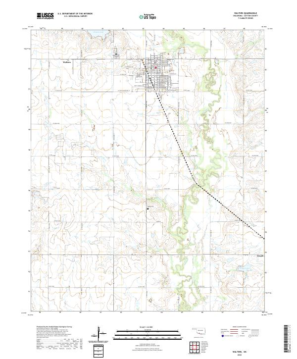
Walters serves as the focal point of this Cotton County landscape, where the grid of the town center is anchored by the Cotton County Courthouse. The layout of the community is meticulously detailed, showing the residential and commercial blocks bounded by E South Boundary St and W Colorado Ave. Beyond the town limits, the terrain is defined by the winding course of E Cache Cr and Soldier Cr, which cut through the agricultural sections of the Southern Oklahoma plains. To the southeast, the smaller community of Temple is situated near Temple Lake, illustrating the proximity of these local trade centers. This survey captures the region's enduring rural structure, from established burial sites like Walters Cem and Brown Cem to the network of county roads that facilitate travel across the township lines of t2s r11w and t3s r10w.
Find a feature on this map
49 named features on this map. Tap any name to fly to it.
Don’t see what you’re looking for? This feature index may not catch every label — zoom into the map to look around manually.
Map Details
Editions of this 2022 Walters Map
This is the sole edition of this map. No revisions or reprints were ever made.
Historical Maps of Walters Through Time
7 maps found