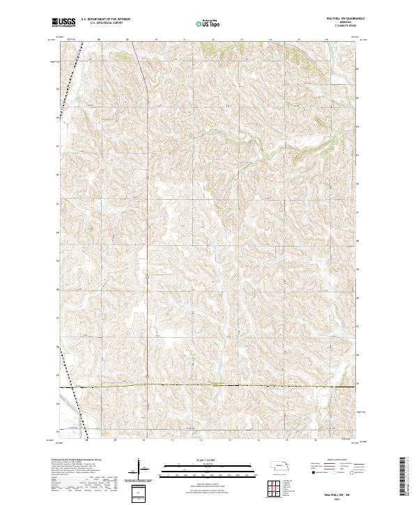
2021 Map of Walthill SW
USGS Topo · Published 2021About this map
S Blackbird Creek and its many smaller tributaries carve a dense network of drainage through the high agricultural ground along the border of Thurston and Burt counties. This rural landscape in Northeast Nebraska is defined by its rectilinear road grid, where routes like L Ave and 34 Rd navigate the dissected uplands between major watercourses. The southwestern corner reveals a significant change in the local hydrology where the natural path of Logan Creek meets the engineered Logan Creek Dredge, reflecting long-term efforts to manage the wetlands and water flow of the valley floor. Away from the creek bottoms, the terrain rises into steep hillsides, with several family-named landmarks like Banks Rd indicating the persistent footprint of local farmsteads and rural development in townships t23n r8e and t23n r9e.
Find a feature on this map
29 named features on this map. Tap any name to fly to it.
Don’t see what you’re looking for? This feature index may not catch every label — zoom into the map to look around manually.
Map Details
Editions of this 2021 Walthill SW Map
This is the sole edition of this map. No revisions or reprints were ever made.
Other maps of this area

1955 · Sioux City
USGS Topo · 1:250,000

1955 · Fremont
USGS Topo · 1:250,000

1957 · Fremont
USGS Topo · 1:250,000

1958 · Sioux City
USGS Topo · 1:250,000

1958 · Fremont
USGS Topo · 1:250,000

1959 · Sioux City
USGS Topo · 1:250,000

1966 · Lyons
USGS Topo · 1:24,000

1966 · West Point NE
USGS Topo · 1:24,000

1966 · Walthill SW
USGS Topo · 1:24,000

1966 · Walthill
USGS Topo · 1:24,000