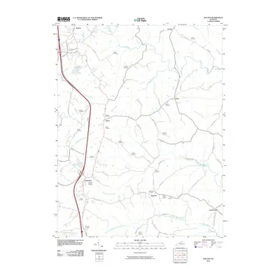
2010 Map of Walton
USGS Topo · Published 2010About this map
The town of Crittenden and the village of Walton serve as the primary hubs in this northern Kentucky landscape, where the terrain is deeply etched by the winding tributaries of the Licking River watershed. A dense network of family-named cemeteries, such as the Northcutt Cemetery and Byland Cemetery, suggests a long-established rural community organized around small hamlets like Bracht and Flingsville. The area's hydrology is characterized by numerous forks and branches, including Sawyers Fork and North Fork Middle Fork Grassy Creek, which flow through the agricultural hills. Boone Lake provides a notable exception to the drainage pattern, while major transportation corridors parallel the older routes of the McCoys Fork. Local family history is preserved in the naming of many backroads, from Spillman Rd to Hempfling Rd, reflecting the generational footprint of the surrounding countryside.
Find a feature on this map
66 named features on this map. Tap any name to fly to it.
Don’t see what you’re looking for? This feature index may not catch every label — zoom into the map to look around manually.
Map Details
Editions of this 2010 Walton Map
This is the sole edition of this map. No revisions or reprints were ever made.
Other maps of this area

1929 · Alexandria
USGS Topo · 1:48,000

1930 · Falmouth
USGS Topo · 1:48,000

1936 · Alexandria
USGS Topo · 1:62,500

1936 · Falmouth
USGS Topo · 1:62,500

1950 · Elliston
USGS Topo · 1:24,000

1950 · Union
USGS Topo · 1:24,000

1950 · Williamstown
USGS Topo · 1:24,000

1950 · Independence
USGS Topo · 1:24,000

1950 · Verona
USGS Topo · 1:24,000

1950 · Walton
USGS Topo · 1:24,000