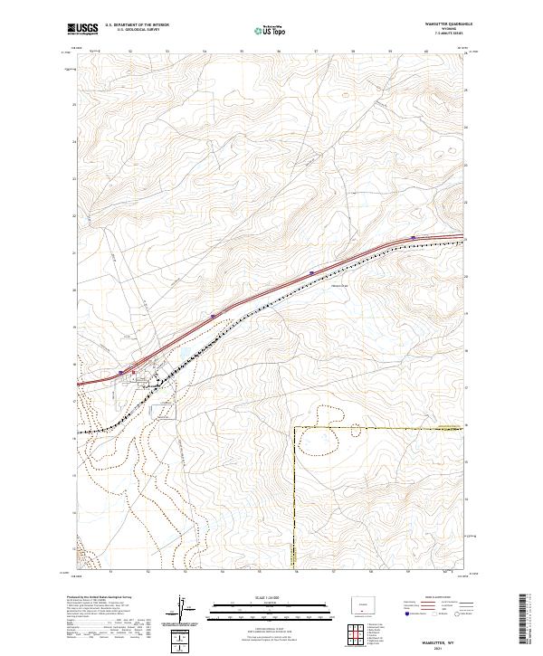
2021 Map of Wamsutter
USGS Topo · Published 2021About this map
Wamsutter stands as the primary hub of this high-desert landscape in the Red Desert region, defined by its relationship with the transcontinental transportation corridor. The town's grid is small but distinct, bounded by streets like Bugas Ave and Latham Ave, while the adjacent rail corridor is marked by Railroad Ave. Outside the town center, the terrain is characterized by ephemeral drainage patterns such as Hansen Draw and a complex network of industrial and service roads, including the aptly named Pipeline Rd and Cig Rd. This 2021 survey illustrates the modern footprint of a community traditionally centered on energy production and rail transit, with routes like Wamsutter-Crooks Gap Rd extending into the surrounding Sweetwater County basins. The boundary with Carbon County cuts through the eastern portion of the map, separating the high plateaus and draws that define this portion of the Continental Divide.
Find a feature on this map
24 named features on this map. Tap any name to fly to it.
Don’t see what you’re looking for? This feature index may not catch every label — zoom into the map to look around manually.
Map Details
Editions of this 2021 Wamsutter Map
This is the sole edition of this map. No revisions or reprints were ever made.
Other maps of this area

1954 · Rawlins
USGS Topo · 1:250,000

1954 · Rock Springs
USGS Topo · 1:250,000

1958 · Rawlins
USGS Topo · 1:250,000

1958 · Rock Springs
USGS Topo · 1:250,000

1960 · Lost Creek Butte
USGS Topo · 1:62,500

1962 · Rawlins
USGS Topo · 1:250,000

1962 · Rock Springs
USGS Topo · 1:250,000

1966 · Wamsutter
USGS Topo · 1:24,000

1966 · Monument Lake
USGS Topo · 1:24,000

1966 · Creston
USGS Topo · 1:24,000