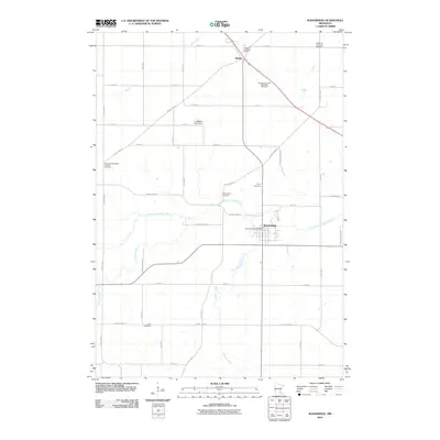
2010 Map of Wanamingo
USGS Topo · Published 2010About this map
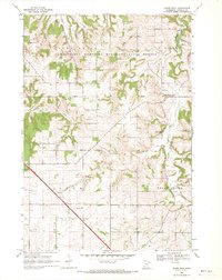
The North Fork Zumbro River snakes through this agricultural portion of Goodhue County, anchoring a landscape defined by its deep Scandinavian and German heritage. The town of Wanamingo stands as the primary hub, where the Wanamingo Post Office and local streets like Mingo View Dr reflect the community's identity. To the northwest, the small settlement of Hader sits at a crossroads near the Nazareth Lutheran Church, marking a secondary node of activity.
Find a feature on this map
43 named features on this map. Tap any name to fly to it.
Don’t see what you’re looking for? This feature index may not catch every label — zoom into the map to look around manually.
Map Details
Editions of this 2010 Wanamingo Map
This is the sole edition of this map. No revisions or reprints were ever made.
Other maps of this area

1953 · Saint Paul
USGS Topo · 1:250,000

1959 · Saint Paul
USGS Topo · 1:250,000
1965 · Concord
USGS Topo · 1:24,000
1965 · West Concord
USGS Topo · 1:24,000
1965 · Pine Island
USGS Topo · 1:24,000
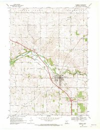
1968 · Zumbrota
USGS Topo · 1:24,000
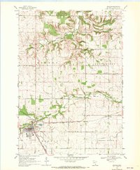
1968 · Kenyon
USGS Topo · 1:24,000
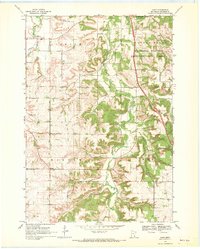
1968 · Sogn
USGS Topo · 1:24,000
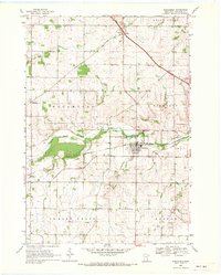
1968 · Wanamingo
USGS Topo · 1:24,000
1968 · White Rock
USGS Topo · 1:24,000