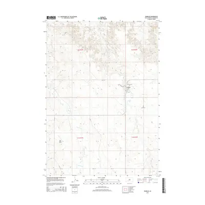
2015 Map of Wanblee
USGS Topo · Published 2015About this map
Wanblee stands at the center of this 2015 survey, serving as a primary hub for the surrounding Jackson County prairie. The local community structure is anchored by religious and educational landmarks, including Gethsemane Cem and Saint Ignatius Cem, alongside the Crazy Horse School Dr corridor. The town's grid is defined by Washabaugh Ave and Sioux Ave, leading south toward the waters of Wanblee Lake.
Find a feature on this map
20 named features on this map. Tap any name to fly to it.
Don’t see what you’re looking for? This feature index may not catch every label — zoom into the map to look around manually.
Map Details
Editions of this 2015 Wanblee Map
This is the sole edition of this map. No revisions or reprints were ever made.
Other maps of this area

1950 · Interior SE
USGS Topo · 1:24,000

1950 · Wanblee
USGS Topo · 1:24,000

1951 · Wanblee NW
USGS Topo · 1:24,000

1951 · School Section Butte
USGS Topo · 1:24,000

1951 · Wanblee NE
USGS Topo · 1:24,000

1955 · Martin
USGS Topo · 1:250,000

1958 · Martin
USGS Topo · 1:250,000

1980 · Kadoka
USGS Topo · 1:100,000

1981 · Broken Leg Dam
USGS Topo · 1:24,000

1981 · Hisle
USGS Topo · 1:25,000