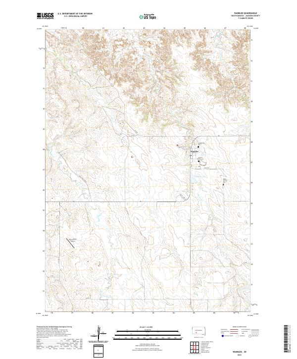
2021 Map of Wanblee
USGS Topo · Published 2021About this map
Wanblee serves as the primary settlement on this landscape, positioned near the eastern edge of the quadrangle. This area is defined by the drainage of Eagle Nest Cr and Craven Cr, which carve through the high plains of Jackson County. Local genealogy and history are anchored by several sites of religious and communal importance, including the Catholic Mission Cem, Saint Ignatius Cem, and Gethsemane Cem. These landmarks, along with the nearby Wanblee Lake, suggest a community deeply connected to both its spiritual heritage and the natural topography of the Great Plains.
Find a feature on this map
26 named features on this map. Tap any name to fly to it.
Don’t see what you’re looking for? This feature index may not catch every label — zoom into the map to look around manually.
Map Details
Editions of this 2021 Wanblee Map
This is the sole edition of this map. No revisions or reprints were ever made.
Other maps of this area

1950 · Interior SE
USGS Topo · 1:24,000

1950 · Wanblee
USGS Topo · 1:24,000

1951 · Wanblee NW
USGS Topo · 1:24,000

1951 · School Section Butte
USGS Topo · 1:24,000

1951 · Wanblee NE
USGS Topo · 1:24,000

1955 · Martin
USGS Topo · 1:250,000

1958 · Martin
USGS Topo · 1:250,000

1980 · Kadoka
USGS Topo · 1:100,000

1981 · Broken Leg Dam
USGS Topo · 1:24,000

1981 · Hisle
USGS Topo · 1:25,000