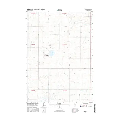
2016 Map of Wanda
USGS Topo · Published 2016About this map
Wanda serves as the primary hub of this agricultural landscape in Redwood County, situated just west of Willow Lake. The town's grid is anchored by Main St, with the Wanda Cem located nearby to the north. The surrounding countryside is defined by a dense network of sectional roads like Justice Ave and Co Rd 4, which connect scattered homesteads and significant community landmarks. Regional history is preserved at the Trinity Lutheran Cem and Saint Mathias Cem, which mark the spiritual and ancestral centers of the early farming community. The drainage of the prairie is visible through the winding paths of Sleepy Eye Cr in the north and Coal Mine Cr in the south, illustrating the natural watercourses that shaped the development of local farmsteads and road alignments across the townships.
Find a feature on this map
32 named features on this map. Tap any name to fly to it.
Don’t see what you’re looking for? This feature index may not catch every label — zoom into the map to look around manually.
Map Details
Editions of this 2016 Wanda Map
This is the sole edition of this map. No revisions or reprints were ever made.
Other maps of this area

1953 · New Ulm
USGS Topo · 1:250,000

1957 · New Ulm
USGS Topo · 1:250,000

1958 · New Ulm
USGS Topo · 1:250,000

1967 · New Ulm
USGS Topo · 1:250,000

1967 · Wanda
USGS Topo · 1:24,000

1967 · Sanborn
USGS Topo · 1:24,000

1967 · Clements
USGS Topo · 1:24,000

1967 · Wabasso SE
USGS Topo · 1:24,000

1967 · Wabasso
USGS Topo · 1:24,000

1967 · Clements SE
USGS Topo · 1:24,000