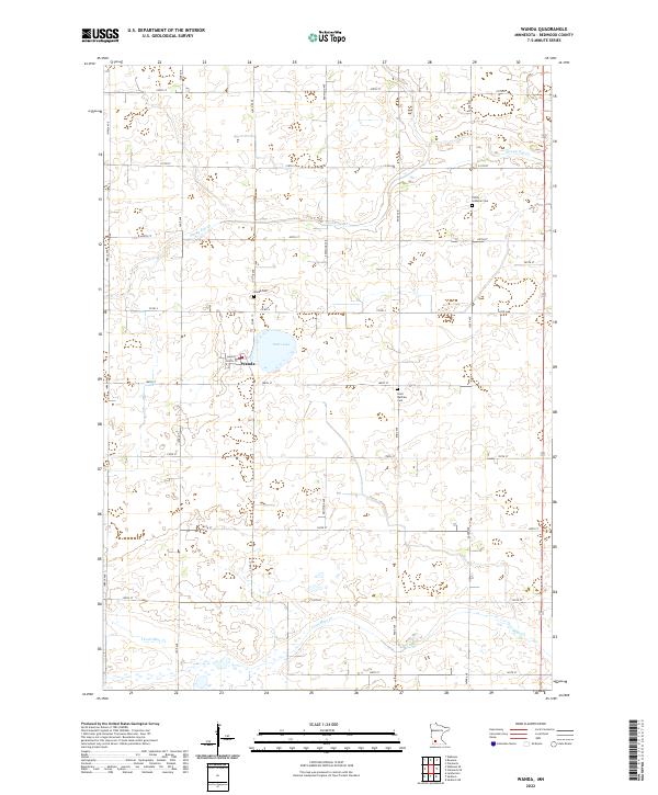
2022 Map of Wanda
USGS Topo · Published 2022About this map
Wanda serves as the primary hub of this Redwood County landscape, situated on a grid of rural roads including Main St and South St. The surrounding agricultural terrain is defined by a dense network of sectional boundaries and township lines, such as t110n r36w and t111n r37w. Local genealogy is well-supported by the presence of several established burial grounds, including the Wanda Cem located just north of the village, and the more distant Trinity Lutheran Cem and Saint Mathias Cem.
Find a feature on this map
26 named features on this map. Tap any name to fly to it.
Don’t see what you’re looking for? This feature index may not catch every label — zoom into the map to look around manually.
Map Details
Editions of this 2022 Wanda Map
This is the sole edition of this map. No revisions or reprints were ever made.
Other maps of this area

1953 · New Ulm
USGS Topo · 1:250,000

1957 · New Ulm
USGS Topo · 1:250,000

1958 · New Ulm
USGS Topo · 1:250,000

1967 · New Ulm
USGS Topo · 1:250,000

1967 · Wanda
USGS Topo · 1:24,000

1967 · Sanborn
USGS Topo · 1:24,000

1967 · Clements
USGS Topo · 1:24,000

1967 · Wabasso SE
USGS Topo · 1:24,000

1967 · Wabasso
USGS Topo · 1:24,000

1967 · Clements SE
USGS Topo · 1:24,000