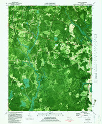
1982 Map of Wango
USGS Topo · Published 1983About this map
Wicomico State Forest dominates this Eastern Shore landscape, where the meandering course of Nassawango Creek flows south toward the Pocomoke State Forest. Published in the early 1980s from aerial photography, the map reveals a network of drainage ditches and branches like Waste Gate Creek and Campbell Ditch that define the agricultural and timber lands between the small settlements of Wango and Powellville.
Find a feature on this map
42 named features on this map. Tap any name to fly to it.
Don’t see what you’re looking for? This feature index may not catch every label — zoom into the map to look around manually.
Map Details
Editions of this 1982 Wango Map
2 editions found
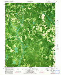
Other maps of this area

1901 · Snow Hill
USGS Topo · 1:62,500

1901 · Salisbury
USGS Topo · 1:62,500

1902 · Pittsville
USGS Topo · 1:62,500

1942 · Ninepin
USGS Topo · 1:24,000

1942 · Snow Hill
USGS Topo · 1:24,000

1942 · Wango
USGS Topo · 1:24,000

1942 · Wesley
USGS Topo · 1:24,000

1942 · Whaleysville
USGS Topo · 1:24,000

1942 · Dividing Creek
USGS Topo · 1:24,000

1942 · Salisbury
USGS Topo · 1:24,000