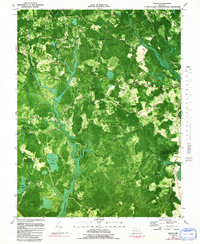
1982 Map of Wango
USGS Topo · Published 1991About this map
Wicomico State Forest dominates this landscape on the Delmarva Peninsula, characterized by a complex network of wetlands and drainage ditches. The slow-moving waters of Nassawango Creek and its many tributaries, including Waste Gate Creek and Beaverdam Creek, create a riparian environment that defines the local geography. Small rural settlements like Forest Grove, Wango, and Powellville are connected by a web of light-duty roads such as Fooks Road and Powell Road. The presence of numerous unnamed cemeteries and community landmarks like Mt Zion Ch and Friendship Ch provide significant touchpoints for genealogical research. The transition into the Pocomoke State Forest to the south and the Johnson Wildlife Management Area to the west highlights the area's history of conservation and managed timberland during the late twentieth century.
Find a feature on this map
50 named features on this map. Tap any name to fly to it.
Don’t see what you’re looking for? This feature index may not catch every label — zoom into the map to look around manually.
Map Details
Editions of this 1982 Wango Map
2 editions found
Other maps of this area

1901 · Snow Hill
USGS Topo · 1:62,500

1901 · Salisbury
USGS Topo · 1:62,500

1902 · Pittsville
USGS Topo · 1:62,500

1942 · Ninepin
USGS Topo · 1:24,000

1942 · Snow Hill
USGS Topo · 1:24,000

1942 · Wango
USGS Topo · 1:24,000

1942 · Wesley
USGS Topo · 1:24,000

1942 · Whaleysville
USGS Topo · 1:24,000

1942 · Dividing Creek
USGS Topo · 1:24,000

1942 · Salisbury
USGS Topo · 1:24,000