Loading...
Loading map...2022 Map of Wann
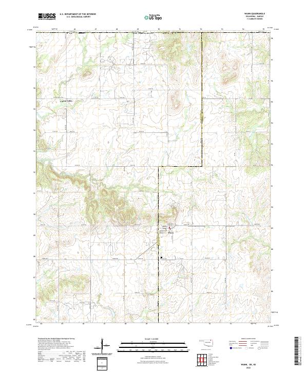
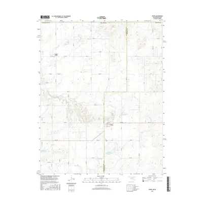
USGS Topo · Published 2022About this map
The settlement of Wann sits at a crossroads along the Washington Co Nowata Co line, serving as the primary hub for this agricultural landscape. The town site is clearly detailed with its core streets, including Main St, Cherokee St, and Maple St, along with a local Po. To the northwest, the small community of Cotton Valley marks a secondary point of interest in a region defined by a dense network of sectional roads and natural drainages.
Find a feature on this map
53 named features on this map. Tap any name to fly to it.
Don’t see what you’re looking for? This feature index may not catch every label — zoom into the map to look around manually.
Map Details
Date Portrayed2022
Date Published2022
PublisherU.S. Geological Survey
Map TypeTopographic
Scale1:24,000
Physical Dimensions24 x 29 inches
Editions of this 2022 Wann Map
This is the sole edition of this map. No revisions or reprints were ever made.
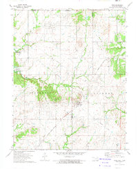
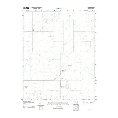
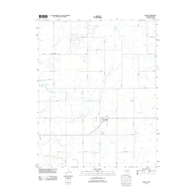
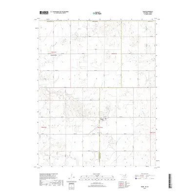
Historical Maps of Wann Through Time
6 maps found
Featured Locations
Source Details
SourceU.S. Geological Survey
CopyrightPublic Domain