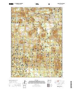
2020 Map of Wanoga Butte
USGS Topo · Published 2020About this map
Deschutes National Forest dominates this landscape, characterized by a series of volcanic peaks known as buttes that define the eastern slopes of the Cascade Range. This high-altitude recreational corridor is meticulously mapped for winter activities, showing an extensive network of specialized trails such as the Nordeen Loop and Swampy Snowshoe route. The reliance on seasonal snow-based transportation is evident in the naming of corridors like Snomo #25 and the Lower Loop. While water is scarce, the Swampy Lakes and Big Spring provide critical landmarks amidst the timber. Elevation changes are sharp, rising from the forest floor to the summits of Wanoga Butte and Edison Butte, creating a complex topography used for modern mountain biking and winter sports, including the Tiddlywinks area.
Find a feature on this map
68 named features on this map. Tap any name to fly to it.
Don’t see what you’re looking for? This feature index may not catch every label — zoom into the map to look around manually.
Map Details
Editions of this 2020 Wanoga Butte Map
This is the sole edition of this map. No revisions or reprints were ever made.
Other maps of this area

1926 · Bend
USGS Topo · 1:125,000

1929 · Bend
USGS Topo · 1:125,000

1929 · Three Sisters
USGS Topo · 1:125,000

1930 · Maiden Peak
USGS Topo · 1:125,000

1931 · Newberry Crater
USGS Topo · 1:125,000

1932 · Three Sisters
USGS Topo · 1:125,000

1934 · Maiden Peak
USGS Topo · 1:125,000

1935 · Newberry Crater
USGS Topo · 1:125,000

1955 · Crescent
USGS Topo · 1:250,000

1955 · Bend
USGS Topo · 1:250,000