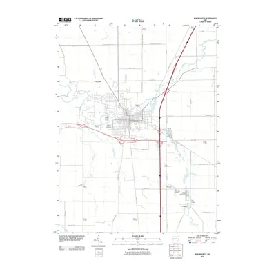
2010 Map of Wapakoneta
USGS Topo · Published 2010About this map
Wapakoneta serves as the focal point of this Auglaize County landscape, situated where the Auglaize River meets a network of vital local waterways like Pusheta Creek and Quaker Run. The town's layout reflects a mix of civic institutions and industrial growth, featuring the Auglaize County Fairgrounds and the Wapakoneta Post Office alongside developments like Industrial Dr. The presence of several religious and family landmarks, including Old Saint Josephs Cemetery and Evergreen Cemetery, provides significant data for genealogical research.
Find a feature on this map
63 named features on this map. Tap any name to fly to it.
Don’t see what you’re looking for? This feature index may not catch every label — zoom into the map to look around manually.
Map Details
Editions of this 2010 Wapakoneta Map
This is the sole edition of this map. No revisions or reprints were ever made.
Other maps of this area

1906 · Lima
USGS Topo · 1:62,500

1909 · Loramie
USGS Topo · 1:62,500

1911 · Loramie
USGS Topo · 1:62,500

1911 · Spencerville
USGS Topo · 1:62,500

1913 · Sidney
USGS Topo · 1:62,500

1944 · Sidney
USGS Topo · 1:62,500

1944 · Loramie
USGS Topo · 1:62,500

1944 · Spencerville
USGS Topo · 1:62,500

1953 · Muncie
USGS Topo · 1:250,000

1956 · Muncie
USGS Topo · 1:250,000