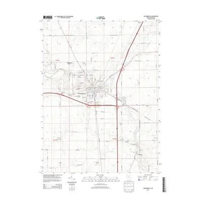
2013 Map of Wapakoneta
USGS Topo · Published 2013About this map
Wapakoneta serves as the hub of this West Central Ohio landscape, where the Auglaize River and Pusheta Cr converge. The town's layout is meticulously detailed, showing the Auglaize County Fairgrounds and many of the original church-centered graveyards that define its early heritage, such as Old Saint Josephs Cem and Evergreen Cem. Beyond the city limits, the landscape transitions into the agricultural reaches of Auglaize County, dotted with family-named burial sites like Hittepole Cem and Wisely Cem.
Find a feature on this map
74 named features on this map. Tap any name to fly to it.
Don’t see what you’re looking for? This feature index may not catch every label — zoom into the map to look around manually.
Map Details
Editions of this 2013 Wapakoneta Map
This is the sole edition of this map. No revisions or reprints were ever made.
Other maps of this area

1906 · Lima
USGS Topo · 1:62,500

1909 · Loramie
USGS Topo · 1:62,500

1911 · Loramie
USGS Topo · 1:62,500

1911 · Spencerville
USGS Topo · 1:62,500

1913 · Sidney
USGS Topo · 1:62,500

1944 · Sidney
USGS Topo · 1:62,500

1944 · Loramie
USGS Topo · 1:62,500

1944 · Spencerville
USGS Topo · 1:62,500

1953 · Muncie
USGS Topo · 1:250,000

1956 · Muncie
USGS Topo · 1:250,000