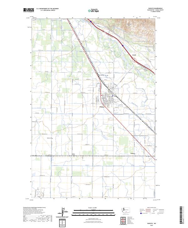
2023 Map of Wapato
USGS Topo · Published 2023About this map
Wapato serves as the central hub of this agricultural landscape within the Yakima Valley, where a complex network of irrigation infrastructure supports the region's productivity. The map documents the vital role of water management, showing the Sunnyside Canal and Union Gap Canal as they skirt the base of the Rattlesnake Hills. The Yakima River meanders through the northeast, paralleled by Wanity Slough, creating a corridor of riparian terrain contrasted against the geometric grid of orchards and fields.
Find a feature on this map
94 named features on this map. Tap any name to fly to it.
Don’t see what you’re looking for? This feature index may not catch every label — zoom into the map to look around manually.
Map Details
Editions of this 2023 Wapato Map
This is the sole edition of this map. No revisions or reprints were ever made.
Other maps of this area
1899 · Ellensburg
USGS Topo · 1:125,000
1901 · Ellensburg
USGS Topo · 1:125,000
1910 · Zillah
USGS Topo · 1:125,000
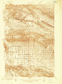
1936 · Yakima East
USGS Topo · 1:48,000
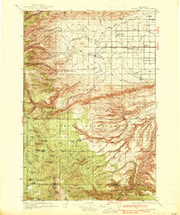
1937 · White Swan
USGS Topo · 1:125,000
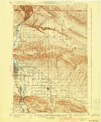
1941 · Yakima East
USGS Topo · 1:62,500
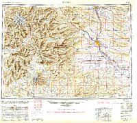
1950 · Yakima
USGS Topo · 1:250,000
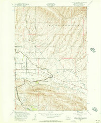
1953 · Elephant Mountain
USGS Topo · 1:24,000
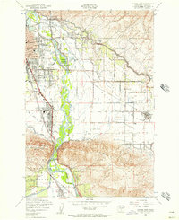
1953 · Yakima East
USGS Topo · 1:24,000
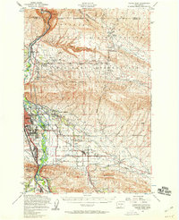
1953 · Yakima East
USGS Topo · 1:62,500