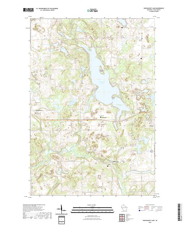
2022 Map of Wapogasset Lake
USGS Topo · Published 2022About this map
Wapogasset Lake and its intricate shoreline dominate this portion of Polk County, where the landscape is defined by the glacial legacy of countless kettle lakes and marshy lowlands. The settlement of Wanderoos sits to the west, while Deronda and Little Falls occupy the central and southern reaches near the Apple River. This river corridor was historically significant for the regional timber and milling industries, and here it winds through a terrain dotted with small family and community burial grounds, including Deronda Cem, Travelers Rest Cem, and Lincoln Cem.
Find a feature on this map
91 named features on this map. Tap any name to fly to it.
Don’t see what you’re looking for? This feature index may not catch every label — zoom into the map to look around manually.
Map Details
Editions of this 2022 Wapogasset Lake Map
This is the sole edition of this map. No revisions or reprints were ever made.
Other maps of this area

1900 · St Croix Dalles
USGS Topo · 1:62,500

1901 · St Croix Dalles
USGS Topo · 1:62,500

1948 · New Richmond
USGS Topo · 1:62,500

1949 · New Richmond
USGS Topo · 1:62,500

1950 · Deer Park
USGS Topo · 1:62,500

1950 · Balsam Lake
USGS Topo · 1:62,500

1953 · Stillwater
USGS Topo · 1:250,000

1955 · St. Croix Dalles
USGS Topo · 1:62,500

1955 · Stillwater
USGS Topo · 1:250,000

1958 · Stillwater
USGS Topo · 1:250,000