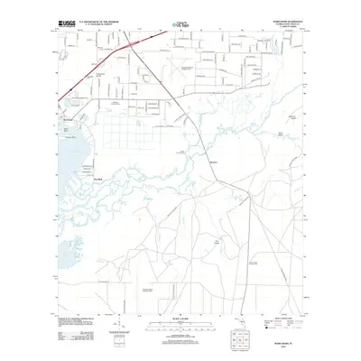
2012 Map of Ward Basin
USGS Topo · Published 2012About this map
Pine Bluff and the scattered communities of Persimmon Hollow and Broxson anchor this coastal river landscape in Santa Rosa County. The terrain is defined by the complex hydraulics of the Yellow River as it winds toward Blackwater Bay, creating a network of secondary waterways like the Weaver River and Dead River. This environment supports numerous low-lying features including Catfish Basin and Boiling Creek Lake.
Find a feature on this map
119 named features on this map. Tap any name to fly to it.
Don’t see what you’re looking for? This feature index may not catch every label — zoom into the map to look around manually.
Map Details
Editions of this 2012 Ward Basin Map
This is the sole edition of this map. No revisions or reprints were ever made.
Other maps of this area

1920 · Milton
USGS Topo · 1:62,500

1921 · Holley
USGS Topo · 1:62,500

1921 · Pensacola
USGS Topo · 1:62,500

1934 · Harold
USGS Topo · 1:62,500

1936 · Holley
USGS Topo · 1:48,000

1937 · Harold
USGS Topo · 1:62,500

1938 · Holley
USGS Topo · 1:62,500

1938 · Harold
USGS Topo · 1:62,500

1941 · Pensacola
USGS Topo · 1:62,500

1941 · Milton
USGS Topo · 1:62,500