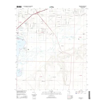
2015 Map of Ward Basin
USGS Topo · Published 2015About this map
Blackwater Bay and the complex delta of the Yellow River define this Florida coastal landscape, where the river splits into multiple channels including the Weaver River and Dead River. The area maintains a significant military presence with the Santa Rosa Naval Outlying Field in the north and the Choctaw Naval Outlying Field to the south. Small settlements like Ward Basin, Pine Bluff, and Broxson are scattered across a terrain marked by deep hollows such as Alabama Hollow and Persimmon Hollow. This 2015 survey provides essential detail for genealogists, showing local burial grounds including Welcome Cem, Friendship Cem, and Williams Memorial Cem. The map traces a mix of modern infrastructure and natural waterways, from the Petersen Point shoreline to the interior swamps of Cat Island Lake.
Find a feature on this map
116 named features on this map. Tap any name to fly to it.
Don’t see what you’re looking for? This feature index may not catch every label — zoom into the map to look around manually.
Map Details
Editions of this 2015 Ward Basin Map
This is the sole edition of this map. No revisions or reprints were ever made.
Other maps of this area

1920 · Milton
USGS Topo · 1:62,500

1921 · Holley
USGS Topo · 1:62,500

1921 · Pensacola
USGS Topo · 1:62,500

1934 · Harold
USGS Topo · 1:62,500

1936 · Holley
USGS Topo · 1:48,000

1937 · Harold
USGS Topo · 1:62,500

1938 · Holley
USGS Topo · 1:62,500

1938 · Harold
USGS Topo · 1:62,500

1941 · Pensacola
USGS Topo · 1:62,500

1941 · Milton
USGS Topo · 1:62,500