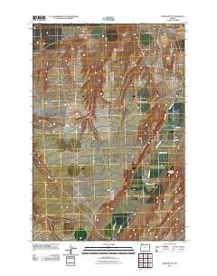
2011 Map of Ward Butte
USGS Topo · Published 2011About this map
Butter Creek defines the local topography, flowing northward through a landscape shaped by agricultural development and ranching operations. The settlement of Four Corners and the community at Madison serve as central nodes for the surrounding rural network, connected by a system of ranch-access roads. This 2011 survey illustrates the modern layout of the high desert plateau, where family-named routes like McCarty Ranch Ln and Madison Sayler Rd trace the boundaries of local landholdings. To the east, the West Buttercreek Airport provides a critical aviation link for this remote stretch of the Oregon interior, situated near the distinctive rise of Ward Butte. The map documents the persistent patterns of land use where ranching life and small-scale aviation intersect with the natural drainage of the creek.
Find a feature on this map
11 named features on this map. Tap any name to fly to it.
Don’t see what you’re looking for? This feature index may not catch every label — zoom into the map to look around manually.
Map Details
Editions of this 2011 Ward Butte Map
This is the sole edition of this map. No revisions or reprints were ever made.
Other maps of this area

1906 · Blalock Island
USGS Topo · 1:125,000

1908 · Blalock Island
USGS Topo · 1:125,000

1908 · Umatilla
USGS Topo · 1:125,000

1953 · Pendleton
USGS Topo · 1:250,000

1956 · Pendleton
USGS Topo · 1:250,000

1962 · Ordnance
USGS Topo · 1:24,000

1962 · Hermiston
USGS Topo · 1:24,000

1962 · Clarke
USGS Topo · 1:24,000

1968 · Service Buttes NW
USGS Topo · 1:24,000

1968 · Vey Ranch
USGS Topo · 1:24,000