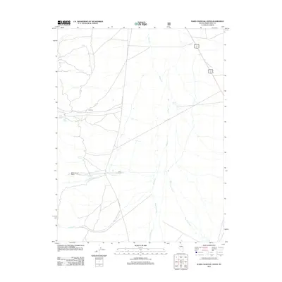
2012 Map of Ward Charcoal Ovens
USGS Topo · Published 2012About this map
Ward Cem sits as a lonely marker of early settlement within this high-desert landscape of White Pine County. The area is defined by a network of seasonal drainages and vital water sources like Young American Spring, Millsite Spring, and Edwards Spring, which sustained local ranching and mining operations. Long-established routes like Cave Valley Rd and Co RD 16 traverse the terrain, connecting the Willow Creek Ranch to the broader region.
Find a feature on this map
15 named features on this map. Tap any name to fly to it.
Don’t see what you’re looking for? This feature index may not catch every label — zoom into the map to look around manually.
Map Details
Editions of this 2012 Ward Charcoal Ovens Map
This is the sole edition of this map. No revisions or reprints were ever made.
Other maps of this area

1952 · Ely
USGS Topo · 1:125,000

1956 · Lund
USGS Topo · 1:250,000

1956 · Ely
USGS Topo · 1:250,000

1958 · Comins Lake
USGS Topo · 1:24,000

1958 · Ely
USGS Topo · 1:62,500

1958 · Ely
USGS Topo · 1:24,000

1959 · Ely
USGS Topo · 1:250,000

1959 · Connors Pass
USGS Topo · 1:62,500

1960 · Lund
USGS Topo · 1:250,000

1963 · Ely
USGS Topo · 1:250,000