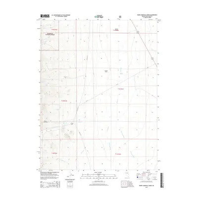
2014 Map of Ward Charcoal Ovens
USGS Topo · Published 2014About this map
The Ward Charcoal Ovens stand as the primary landmark in this section of the Egan Range, marking a site where historic beehive-shaped masonry structures once produced fuel for nearby silver mining operations. This landscape, much of which is contained within the Humboldt National Forest, transitions from the high-elevation Willow Creek Basin down into the expansive Steptoe Valley. For those tracing local pioneer history, the presence of Ward Cem provides a specific point of interest near the old townsite area.
Find a feature on this map
25 named features on this map. Tap any name to fly to it.
Don’t see what you’re looking for? This feature index may not catch every label — zoom into the map to look around manually.
Map Details
Editions of this 2014 Ward Charcoal Ovens Map
This is the sole edition of this map. No revisions or reprints were ever made.
Other maps of this area

1952 · Ely
USGS Topo · 1:125,000

1956 · Lund
USGS Topo · 1:250,000

1956 · Ely
USGS Topo · 1:250,000

1958 · Comins Lake
USGS Topo · 1:24,000

1958 · Ely
USGS Topo · 1:62,500

1958 · Ely
USGS Topo · 1:24,000

1959 · Ely
USGS Topo · 1:250,000

1959 · Connors Pass
USGS Topo · 1:62,500

1960 · Lund
USGS Topo · 1:250,000

1963 · Ely
USGS Topo · 1:250,000