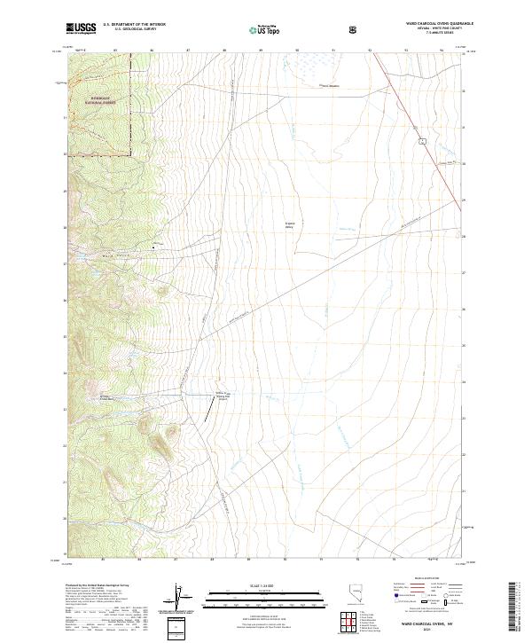
2021 Map of Ward Charcoal Ovens
USGS Topo · Published 2021About this map
Humboldt National Forest and the Steptoe Valley converge in this high-desert landscape of White Pine County. The presence of Ward Cem near Ward Gulch points to the area's mining history, while the Willow Creek Trading Post Airport reflects modern utility in this expansive terrain. Water is a defining element for both livestock and early settlers, marked by a network of drainage systems like Horse Camp Wash, Cattle Camp Wash, and Williams Cr. Named water sources such as Millsite Spring, Young American Spring, and Willow Spring suggest specific points of early 20th-century activity and range management. To the north, the transition from the forest boundary to the lowlands is marked by Comins Meadow and the Willow Creek Basin, showing the vital role of seasonal drainages in the Great Basin ecosystem.
Find a feature on this map
27 named features on this map. Tap any name to fly to it.
Don’t see what you’re looking for? This feature index may not catch every label — zoom into the map to look around manually.
Map Details
Editions of this 2021 Ward Charcoal Ovens Map
This is the sole edition of this map. No revisions or reprints were ever made.
Other maps of this area

1952 · Ely
USGS Topo · 1:125,000

1956 · Lund
USGS Topo · 1:250,000

1956 · Ely
USGS Topo · 1:250,000

1958 · Comins Lake
USGS Topo · 1:24,000

1958 · Ely
USGS Topo · 1:62,500

1958 · Ely
USGS Topo · 1:24,000

1959 · Ely
USGS Topo · 1:250,000

1959 · Connors Pass
USGS Topo · 1:62,500

1960 · Lund
USGS Topo · 1:250,000

1963 · Ely
USGS Topo · 1:250,000