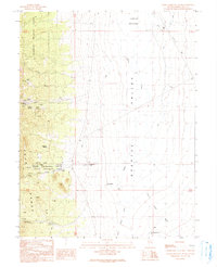
1990 Map of Ward Charcoal Ovens
USGS Topo · Published 1991About this map
Ward Charcoal Ovens State Historic Site preserves a vital link to the mining history of the late nineteenth century, where six beehive-shaped charcoal ovens once fueled the silver smelters of the region. The map captures the transition between the high slopes of the Egan Range, partially contained within the Humboldt National Forest, and the broad expanse of the Steptoe Valley.
Find a feature on this map
35 named features on this map. Tap any name to fly to it.
Don’t see what you’re looking for? This feature index may not catch every label — zoom into the map to look around manually.
Map Details
Editions of this 1990 Ward Charcoal Ovens Map
This is the sole edition of this map. No revisions or reprints were ever made.
Other maps of this area

1952 · Ely
USGS Topo · 1:125,000

1956 · Lund
USGS Topo · 1:250,000

1956 · Ely
USGS Topo · 1:250,000

1958 · Comins Lake
USGS Topo · 1:24,000

1958 · Ely
USGS Topo · 1:62,500

1958 · Ely
USGS Topo · 1:24,000

1959 · Ely
USGS Topo · 1:250,000

1959 · Connors Pass
USGS Topo · 1:62,500

1960 · Lund
USGS Topo · 1:250,000

1963 · Ely
USGS Topo · 1:250,000