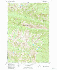
1964 Map of Ward Mountain
USGS Topo · Published 1984About this map
The Selway Bitterroot Wilderness dominates this mid-1960s landscape, providing a detailed view of the high-elevation drainage systems within the Bitterroot National Forest. The topography is defined by sharp peaks and glacial features, including Canyon Peak and Downing Mountain, which overlook a series of alpine water bodies such as Canyon Lake, Wyant Lake, and High Lake. The presence of the Lookout Tower near the summit of Ward Mountain suggests the area's importance for fire observation and forest management during this period.
Find a feature on this map
26 named features on this map. Tap any name to fly to it.
Don’t see what you’re looking for? This feature index may not catch every label — zoom into the map to look around manually.
Map Details
Editions of this 1964 Ward Mountain Map
3 editions found
Other maps of this area

1901 · Hamilton
USGS Topo · 1:125,000

1956 · Hamilton
USGS Topo · 1:250,000

1959 · Hamilton
USGS Topo · 1:250,000

1960 · Hamilton
USGS Topo · 1:250,000

1964 · Hamilton
USGS Topo · 1:250,000

1964 · Hamilton South
USGS Topo · 1:24,000

1964 · Tenmile Lake
USGS Topo · 1:24,000

1964 · Darby
USGS Topo · 1:24,000

1964 · Ward Mountain
USGS Topo · 1:24,000
1964 · El Capitan
USGS Topo · 1:24,000