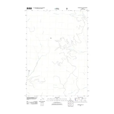
2011 Map of Wards Butte
USGS Topo · Published 2011About this map
Wards Butte rises as a prominent landmark in this Custer County landscape, where complex drainage networks define the topography. The high-elevation terrain is marked by deep incisions such as Burnt Gulch, while several notable watercourses including Corral Creek and Moose Creek create a distinct system of canyons and ridges. The map illustrates a remote wilderness character where drainage names like Sawmill Creek and Stephens Creek hint at the historical human activity or natural features that first drew surveyors and early residents to the area. This 2011 survey details the intricate hydrology of the Hat Creek watershed, including its Middle Fork, Big Hat, and Little Hat branches, offering a high-resolution view of the local relief and forest access routes.
Find a feature on this map
14 named features on this map. Tap any name to fly to it.
Don’t see what you’re looking for? This feature index may not catch every label — zoom into the map to look around manually.
Map Details
Editions of this 2011 Wards Butte Map
This is the sole edition of this map. No revisions or reprints were ever made.
Other maps of this area

1956 · Challis
USGS Topo · 1:62,500

1956 · Twin Peaks
USGS Topo · 1:62,500

1957 · Challis
USGS Topo · 1:250,000

1960 · Challis
USGS Topo · 1:250,000
1962 · Degan Mtn
USGS Topo · 1:24,000

1963 · Challis
USGS Topo · 1:250,000
1963 · Opal Lake
USGS Topo · 1:24,000
1963 · Black Mtn
USGS Topo · 1:24,000
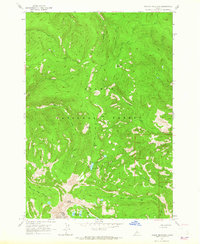
1963 · Taylor Mountain
USGS Topo · 1:24,000
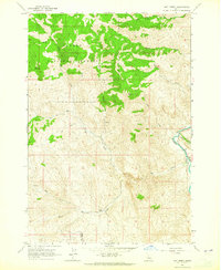
1963 · Hat Creek
USGS Topo · 1:24,000