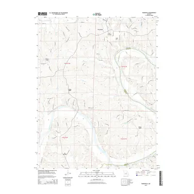
2015 Map of Wardsville
USGS Topo · Published 2015About this map
The Osage River carves a sweeping path through the heart of Cole County, defining the landscape and historical settlement patterns of this central Missouri region. In this mid-2010s survey, the winding waterway separates small rural communities such as Wardsville and Osage Bluff from the neighboring terrain of Osage County. The river's influence is evident in the numerous drainages that feed into it, including Gum Spring Br, Profits Cr, and Harrison Cr.
Find a feature on this map
89 named features on this map. Tap any name to fly to it.
Don’t see what you’re looking for? This feature index may not catch every label — zoom into the map to look around manually.
Map Details
Editions of this 2015 Wardsville Map
This is the sole edition of this map. No revisions or reprints were ever made.
Other maps of this area

1886 · Jefferson City
USGS Topo · 1:125,000

1888 · Tuscumbia
USGS Topo · 1:125,000

1894 · Tuscumbia
USGS Topo · 1:125,000

1894 · Jefferson City
USGS Topo · 1:125,000

1939 · Jefferson City
USGS Topo · 1:24,000

1939 · Jefferson City
USGS Topo · 1:62,500

1942 · Jefferson City
USGS Topo · 1:62,500

1947 · Jefferson City
USGS Topo · 1:250,000

1948 · Centertown
USGS Topo · 1:62,500

1948 · Meta
USGS Topo · 1:62,500