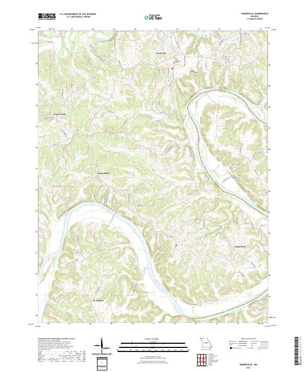
2021 Map of Wardsville
USGS Topo · Published 2021About this map
The Osage River carves a deep, winding path through Cole County, defining the rural character of this central Missouri landscape. Historically rooted communities like Wardsville and St. Thomas serve as local anchors among the ridgelines and creek valleys. The terrain is marked by significant elevation changes, most notably along Kleffner Ridge and the bluffs near Castle Rock. Genealogy and local history researchers will find the Saint Stanislaus Cem at Wardsville, a focal point for the area's early settlement. Numerous smaller waterways, such as Moreau River, Honey Cr, and Gum Spring Br, feed into the main river system, illustrating the complex drainage patterns that have shaped land use and road development, including historical routes like Rte B and Rte M that follow the natural topography.
Find a feature on this map
94 named features on this map. Tap any name to fly to it.
Don’t see what you’re looking for? This feature index may not catch every label — zoom into the map to look around manually.
Map Details
Editions of this 2021 Wardsville Map
This is the sole edition of this map. No revisions or reprints were ever made.
Other maps of this area

1886 · Jefferson City
USGS Topo · 1:125,000

1888 · Tuscumbia
USGS Topo · 1:125,000

1894 · Tuscumbia
USGS Topo · 1:125,000

1894 · Jefferson City
USGS Topo · 1:125,000

1939 · Jefferson City
USGS Topo · 1:24,000

1939 · Jefferson City
USGS Topo · 1:62,500

1942 · Jefferson City
USGS Topo · 1:62,500

1947 · Jefferson City
USGS Topo · 1:250,000

1948 · Centertown
USGS Topo · 1:62,500

1948 · Meta
USGS Topo · 1:62,500