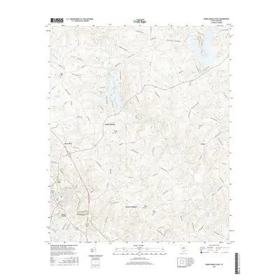
2017 Map of Ware Shoals East
USGS Topo · Published 2017About this map
Poplar Springs and the surrounding upstate South Carolina countryside are defined by the convergence of the Saluda River and the Reedy River in Laurens and Greenwood counties. This 2017 survey reveals a rural landscape deeply connected to its water sources, from the larger flow of the Saluda near Ware Shoals to the smaller basins of Boyd Millpond and Ziegenfuss Pond. The settlement patterns here are primarily centered around road junctions and community landmarks, particularly churches and family burial grounds that have anchored the region for generations.
Find a feature on this map
98 named features on this map. Tap any name to fly to it.
Don’t see what you’re looking for? This feature index may not catch every label — zoom into the map to look around manually.
Map Details
Editions of this 2017 Ware Shoals East Map
This is the sole edition of this map. No revisions or reprints were ever made.
Other maps of this area

1892 · Abbeville
USGS Topo · 1:125,000

1954 · Greenville
USGS Topo · 1:250,000

1957 · Fountain Inn
USGS Topo · 1:62,500

1957 · Williamston
USGS Topo · 1:62,500

1958 · Greenville
USGS Topo · 1:250,000
1971 · Cokesbury
USGS Topo · 1:24,000
1971 · Ware Shoals East
USGS Topo · 1:24,000
1971 · Laurens South
USGS Topo · 1:24,000
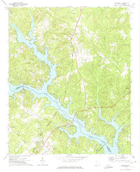
1971 · Waterloo
USGS Topo · 1:24,000
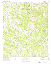
1971 · Shoals Junction
USGS Topo · 1:24,000