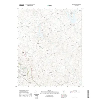
2020 Map of Ware Shoals East
USGS Topo · Published 2020About this map
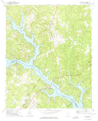
Reedy River meanders southward through this corner of the South Carolina Piedmont, defining much of the local topography between the settlements of Ekom and Poplar Springs. Near the southwestern corner, the Saluda River cuts across the landscape at Ware Shoals, a significant hydrologic point near the intersection of the Laurens, Abbeville, and Greenwood county lines. The area is characterized by a dense network of country roads, such as Neely Ferry Rd and Indian Mound Rd, which connect small communities and family burial grounds including Kings Chapel Cem and Mount Gallagher Cem. The map reveals a rural settlement pattern where life centers around the river drainages and established crossroads like Brewerton, preserving the locations of historical landmarks such as Mount Bethel Cem and the waters of Ziegenfuss Pond and Knights Pond as they appeared in 2020.
Find a feature on this map
104 named features on this map. Tap any name to fly to it.
Don’t see what you’re looking for? This feature index may not catch every label — zoom into the map to look around manually.
Map Details
Editions of this 2020 Ware Shoals East Map
This is the sole edition of this map. No revisions or reprints were ever made.
Other maps of this area

1892 · Abbeville
USGS Topo · 1:125,000

1954 · Greenville
USGS Topo · 1:250,000

1957 · Fountain Inn
USGS Topo · 1:62,500

1957 · Williamston
USGS Topo · 1:62,500

1958 · Greenville
USGS Topo · 1:250,000
1971 · Cokesbury
USGS Topo · 1:24,000
1971 · Ware Shoals East
USGS Topo · 1:24,000
1971 · Laurens South
USGS Topo · 1:24,000
1971 · Waterloo
USGS Topo · 1:24,000
1971 · Shoals Junction
USGS Topo · 1:24,000