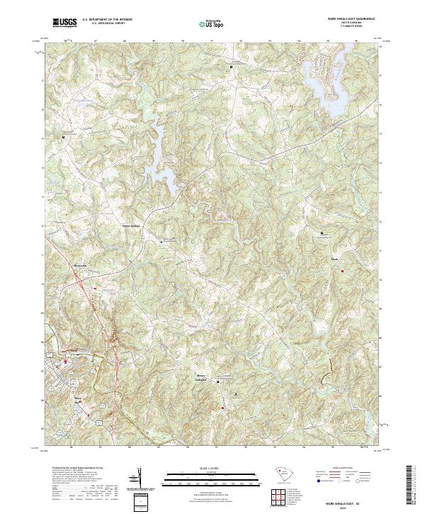
2024 Map of Ware Shoals East
USGS Topo · Published 2024About this map
Reedy River winds through the heart of this Laurens County landscape, anchoring a series of rural communities and historic church sites. The settlement of Ware Shoals occupies the southwestern corner, where the Great Falls marks the river's descent. The area is characterized by a high density of ancestral burial grounds and houses of worship that serve as vital landmarks for local family history, including Friendship Presbyterian Church Cem and the Mount Gallagher Church Graveyard.
Find a feature on this map
114 named features on this map. Tap any name to fly to it.
Don’t see what you’re looking for? This feature index may not catch every label — zoom into the map to look around manually.
Map Details
Editions of this 2024 Ware Shoals East Map
This is the sole edition of this map. No revisions or reprints were ever made.
Other maps of this area

1892 · Abbeville
USGS Topo · 1:125,000

1954 · Greenville
USGS Topo · 1:250,000

1957 · Fountain Inn
USGS Topo · 1:62,500

1957 · Williamston
USGS Topo · 1:62,500

1958 · Greenville
USGS Topo · 1:250,000
1971 · Cokesbury
USGS Topo · 1:24,000
1971 · Ware Shoals East
USGS Topo · 1:24,000
1971 · Laurens South
USGS Topo · 1:24,000
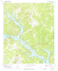
1971 · Waterloo
USGS Topo · 1:24,000
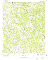
1971 · Shoals Junction
USGS Topo · 1:24,000