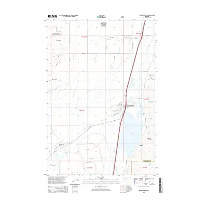
2014 Map of Warm Springs
USGS Topo · Published 2014About this map
Warm Springs and the surrounding agricultural and wild lands define this 2014 survey of the Deer Lodge Valley. The landscape is heavily marked by water management, featuring a complex network of irrigation channels like Jacobson Ditch, Gardner Ditch, and Fife-Cummock Ditch that weave through the valley floor to support local ranching. The eastern half of the map is dominated by the Clark Fork and Silver Bow Cr, while the western edge rises into the timbered slopes of the Deerlodge National Forest.
Find a feature on this map
57 named features on this map. Tap any name to fly to it.
Don’t see what you’re looking for? This feature index may not catch every label — zoom into the map to look around manually.
Map Details
Editions of this 2014 Warm Springs Map
This is the sole edition of this map. No revisions or reprints were ever made.
Other maps of this area

1889 · Helena
USGS Topo · 1:250,000

1893 · Helena
USGS Topo · 1:250,000

1899 · Helena
USGS Topo · 1:250,000

1903 · Helena
USGS Topo · 1:250,000

1947 · Butte
USGS Topo · 1:250,000

1958 · Butte
USGS Topo · 1:250,000

1959 · Butte North
USGS Topo · 1:62,500

1959 · Deer Lodge
USGS Topo · 1:62,500

1960 · Butte
USGS Topo · 1:250,000

1961 · Anaconda
USGS Topo · 1:62,500