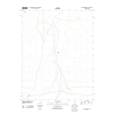
2012 Map of Warm Springs SE
USGS Topo · Published 2012About this map
Reveille Valley dominates the central landscape of this Nevada basin, where the arid terrain is defined by a network of seasonal watercourses and primitive roads. In the southwestern corner, the site of the Reveille Mill stands as a focal point of historical industrial activity, likely serving the nearby mining districts that shaped the early economy of Nye County. The topography is further marked by Cow Canyon in the northwest, showcasing the drainage patterns that flow into the valley floor. This 2012 USGS study provides a contemporary look at the intersection of local industry and the expansive high-desert environment, revealing the persistent tracks of human passage across the remote Basin and Range province.
Find a feature on this map
3 named features on this map. Tap any name to fly to it.
Don’t see what you’re looking for? This feature index may not catch every label — zoom into the map to look around manually.
Map Details
Editions of this 2012 Warm Springs SE Map
This is the sole edition of this map. No revisions or reprints were ever made.
Other maps of this area

1908 · Kawich
USGS Topo · 1:250,000

1942 · Reveille Peak
USGS Topo · 1:125,000

1952 · Kawich Peak
USGS Topo · 1:62,500

1952 · Reveille Peak
USGS Topo · 1:62,500

1954 · Goldfield
USGS Topo · 1:250,000

1955 · Goldfield
USGS Topo · 1:250,000

1956 · Tonopah
USGS Topo · 1:250,000

1958 · Goldfield
USGS Topo · 1:250,000

1959 · Tonopah
USGS Topo · 1:250,000

1962 · Goldfield
USGS Topo · 1:250,000