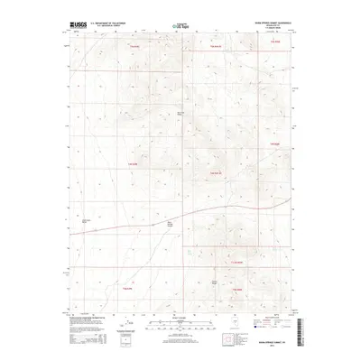
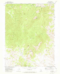
2014 Map of Warm Springs Summit
USGS Topo · Published 2014About this map
Warm Springs Summit serves as the central focal point of this high-altitude landscape, where the Hot Creek Range and the Kawich Range meet. The area is characterized by the wide drainage of Stone Cabin Valley, which dominates the western portion of the terrain. Water sources are scarce in this arid environment, making features like Milk Spring in the northeast and Black Rock Spring further south significant landmarks for understanding the natural hydrology and movement through the territory. A single primary artery, Road 6, provides the east-west passage over the summit, connecting these high-desert valleys. The map illustrates a sparse, open wilderness typical of the Great Basin, where topographic contours reveal the complex ridges and peaks of the surrounding ranges.
Find a feature on this map
16 named features on this map. Tap any name to fly to it.
Don’t see what you’re looking for? This feature index may not catch every label — zoom into the map to look around manually.
Map Details
Editions of this 2014 Warm Springs Summit Map
This is the sole edition of this map. No revisions or reprints were ever made.
Other maps of this area

1956 · Tonopah
USGS Topo · 1:250,000

1959 · Tonopah
USGS Topo · 1:250,000

1962 · Tonopah
USGS Topo · 1:250,000

1967 · Tybo SE
USGS Topo · 1:24,000

1968 · Tybo
USGS Topo · 1:62,500

1968 · Warm Springs
USGS Topo · 1:62,500
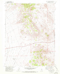
1968 · Warm Springs NW
USGS Topo · 1:24,000
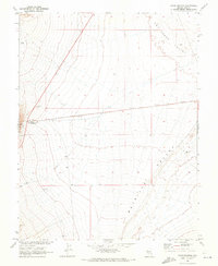
1968 · Warm Springs
USGS Topo · 1:24,000
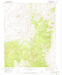
1968 · Bellehelen
USGS Topo · 1:24,000
1968 · Tybo
USGS Topo · 1:24,000