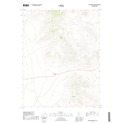
2018 Map of Warm Springs Summit
USGS Topo · Published 2018About this map
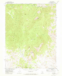
Warm Springs Summit serves as a high-altitude crossing point in this 2018 survey of Nye County, bridging the geographic divide between the Hot Creek Range to the north and the Kawich Range to the south. This arid landscape is defined by its strategic water sources, essential for survival in the high desert, including Milk Spring, Black Rock Spring, and Black Spring. The presence of these reliable hydrology points suggests a history of cattle ranching or early travel routes through these Great Basin ranges. A single secondary highway, route 6, provides the primary east-west passage through the rugged topography, tracing a path beneath the summits that once guided early pioneers and mineral seekers through these remote Nevada highlands.
Find a feature on this map
16 named features on this map. Tap any name to fly to it.
Don’t see what you’re looking for? This feature index may not catch every label — zoom into the map to look around manually.
Map Details
Editions of this 2018 Warm Springs Summit Map
This is the sole edition of this map. No revisions or reprints were ever made.
Other maps of this area

1956 · Tonopah
USGS Topo · 1:250,000

1959 · Tonopah
USGS Topo · 1:250,000

1962 · Tonopah
USGS Topo · 1:250,000

1967 · Tybo SE
USGS Topo · 1:24,000

1968 · Tybo
USGS Topo · 1:62,500

1968 · Warm Springs
USGS Topo · 1:62,500
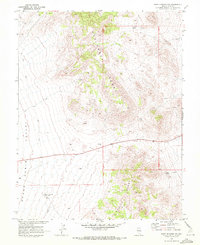
1968 · Warm Springs NW
USGS Topo · 1:24,000
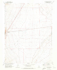
1968 · Warm Springs
USGS Topo · 1:24,000
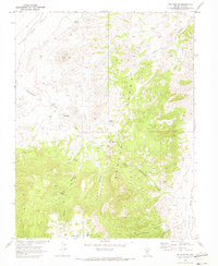
1968 · Bellehelen
USGS Topo · 1:24,000
1968 · Tybo
USGS Topo · 1:24,000