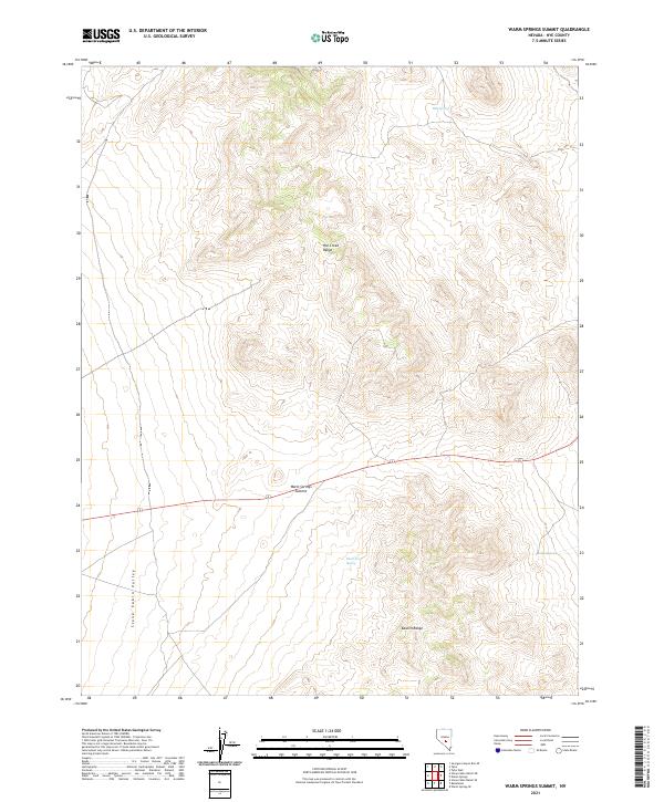
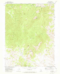
2021 Map of Warm Springs Summit
USGS Topo · Published 2021About this map
Warm Springs Summit serves as a critical geographic transition point in this high-desert landscape, where the southern reaches of the Hot Creek Range meet the northern edge of the Kawich Range. The terrain is characterized by the expansive Stone Cabin Valley to the west, a region defined by its arid basins and the scarce but vital presence of water sources such as Milk Spring, Black Rock Spring, and Black Spring. These water features were essential to the early ranching and transit history of Nye County. The map provides a precise look at the township and range grid system across this section of Nevada, illustrating how legal boundaries were laid over the natural topography of the Great Basin during a contemporary period of environmental mapping.
Find a feature on this map
16 named features on this map. Tap any name to fly to it.
Don’t see what you’re looking for? This feature index may not catch every label — zoom into the map to look around manually.
Map Details
Editions of this 2021 Warm Springs Summit Map
This is the sole edition of this map. No revisions or reprints were ever made.
Other maps of this area

1956 · Tonopah
USGS Topo · 1:250,000

1959 · Tonopah
USGS Topo · 1:250,000

1962 · Tonopah
USGS Topo · 1:250,000

1967 · Tybo SE
USGS Topo · 1:24,000

1968 · Tybo
USGS Topo · 1:62,500

1968 · Warm Springs
USGS Topo · 1:62,500
1968 · Warm Springs NW
USGS Topo · 1:24,000
1968 · Warm Springs
USGS Topo · 1:24,000
1968 · Bellehelen
USGS Topo · 1:24,000
1968 · Tybo
USGS Topo · 1:24,000