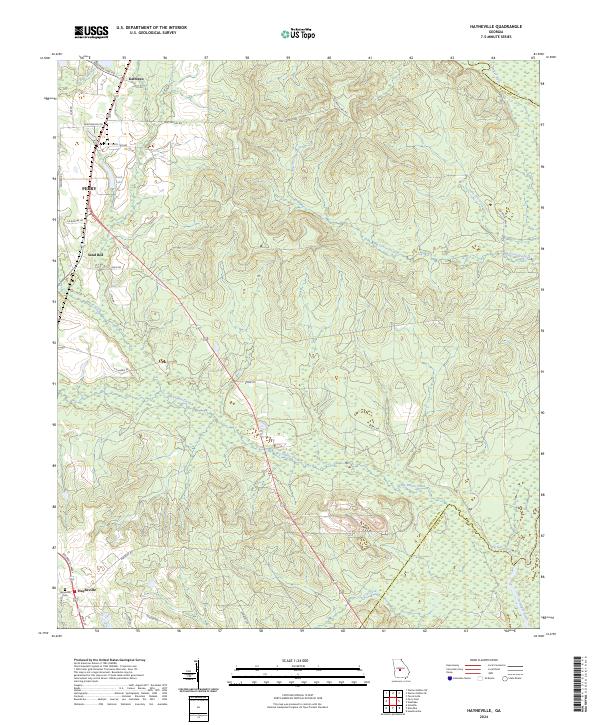
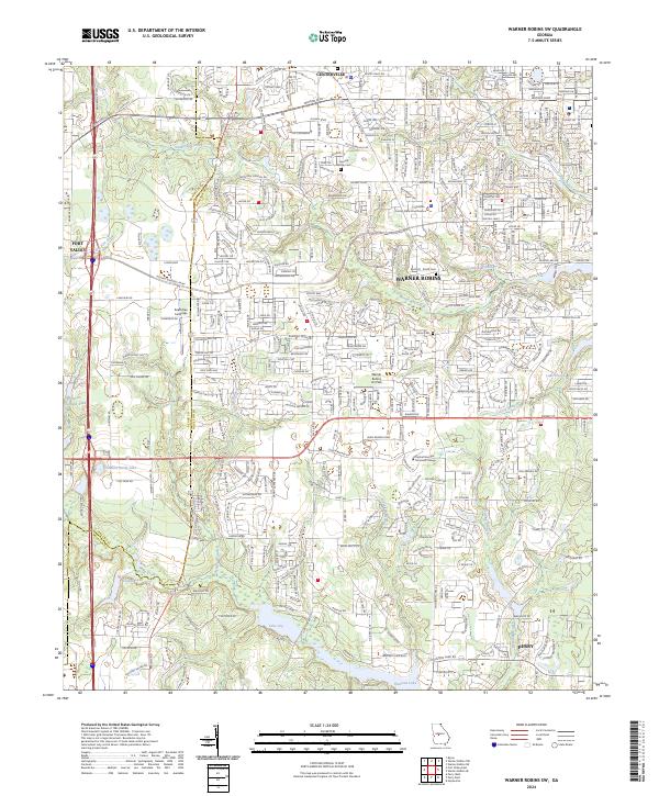
2024 Map of Warner Robins SE
USGS Topo · Published 2024About this map
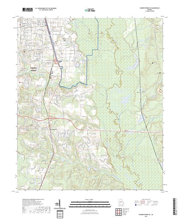
Robins AFB dominates the central-northern landscape, illustrating the significant military footprint that has shaped this region of Georgia. The map documents the urban expansion of Warner Robins and the smaller settlements of Bonaire and Lashley as they interact with the natural wetlands of the Ocmulgee River basin. To the east, the terrain transitions into a dense network of watercourses and swamps, including Camp Creek and Savage Creek, which define the boundary between Houston and Twiggs counties. Several local landmarks provide points of interest for genealogical research, such as Pleasant Hill Primitive Cem, Smith Cem, and Laurel Grove Cem. This survey illustrates the modern road network, including Watson Blvd and Russell Pkwy, alongside older landscape features like Thompson Mill Creek and Williams Lake.
Find a feature on this map
38 named features on this map. Tap any name to fly to it.
Don’t see what you’re looking for? This feature index may not catch every label — zoom into the map to look around manually.
Map Details
Editions of this 2024 Warner Robins SE Map
This is the sole edition of this map. No revisions or reprints were ever made.
Historical Maps of Windsor Forest Through Time
12 maps found
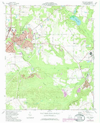
1971 Henderson
Houston County, GA
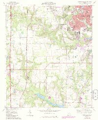
1972 Perry West
Houston County, GA
1973 Hayneville
Houston County, GA
1973 Perry East
Houston County, GA
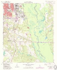
1973 Warner Robins SE
Houston County, GA
1973 Warner Robins SW
Houston County, GA
2024 Hayneville
Houston County, GA
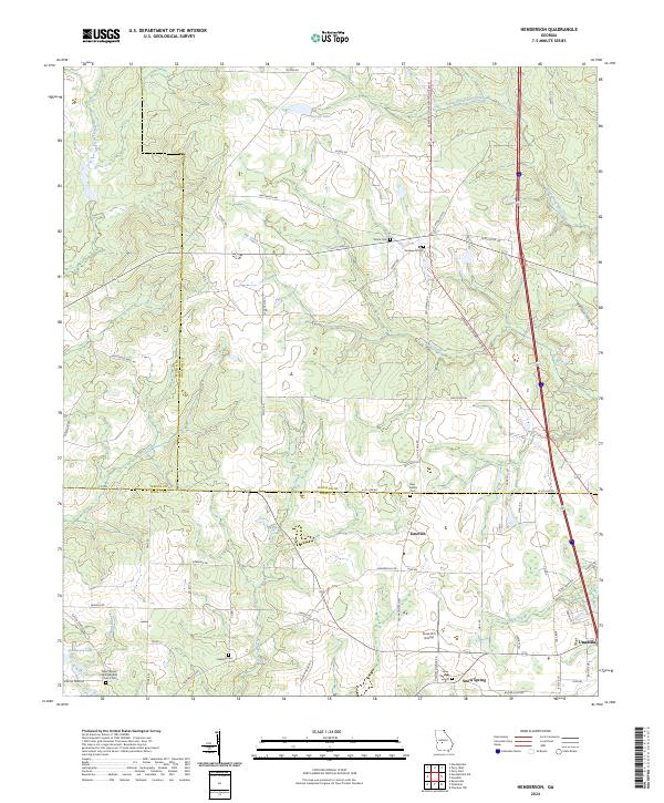
2024 Henderson
Houston County, GA
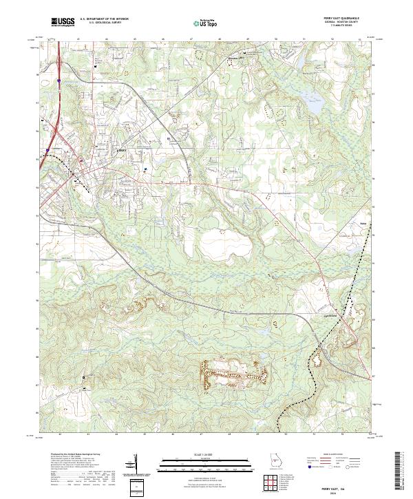
2024 Perry East
Houston County, GA
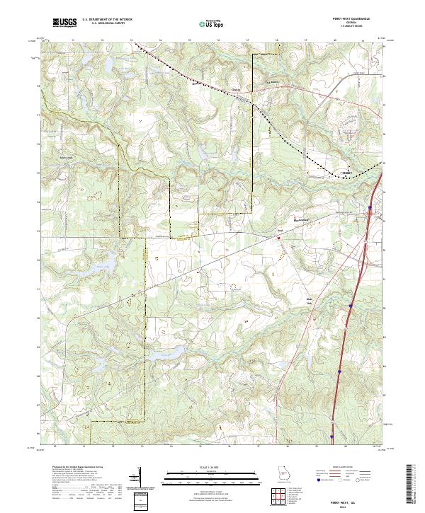
2024 Perry West
Houston County, GA
2024 Warner Robins SE
Houston County, GA
2024 Warner Robins SW
Houston County, GA