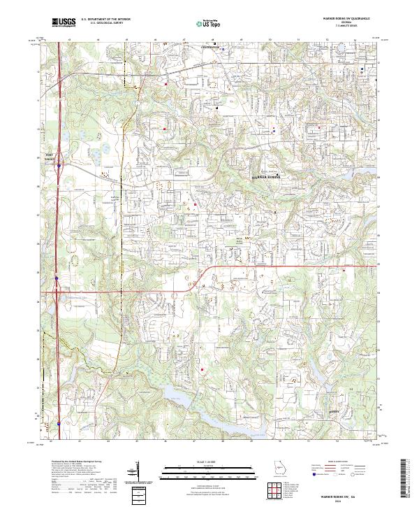
2024 Map of Warner Robins SW
USGS Topo · Published 2024About this map
Centerville and the southern reaches of Warner Robins anchor this suburban and rural landscape in central Georgia. The area is defined by its significant civic and transit infrastructure, including the Houston County State Courthouse and the nearby Warner Robins Air Park. The map documents a blend of established residential neighborhoods and newer developments, interspersed with pockets of local heritage like the Leverett Family Cem and the Bass Rd Smith Cem.
Find a feature on this map
39 named features on this map. Tap any name to fly to it.
Don’t see what you’re looking for? This feature index may not catch every label — zoom into the map to look around manually.
Map Details
Editions of this 2024 Warner Robins SW Map
This is the sole edition of this map. No revisions or reprints were ever made.
Historical Maps of Beaver Creek Through Time
12 maps found
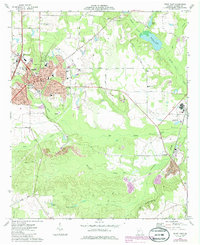
1971 Henderson
Houston County, GA
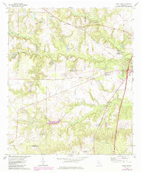
1972 Perry West
Houston County, GA
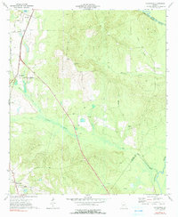
1973 Hayneville
Houston County, GA
1973 Perry East
Houston County, GA
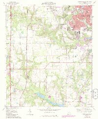
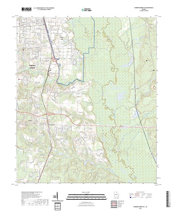
1973 Warner Robins SE
Houston County, GA
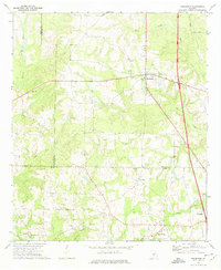
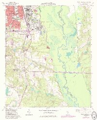
1973 Warner Robins SW
Houston County, GA
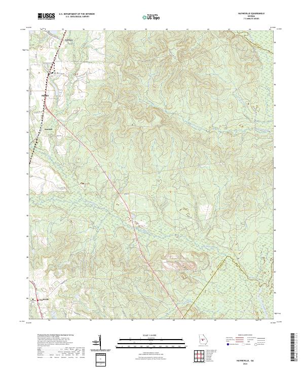
2024 Hayneville
Houston County, GA
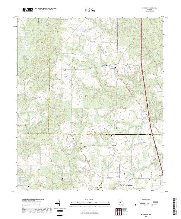
2024 Henderson
Houston County, GA
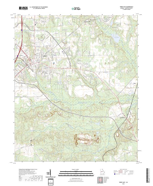
2024 Perry East
Houston County, GA
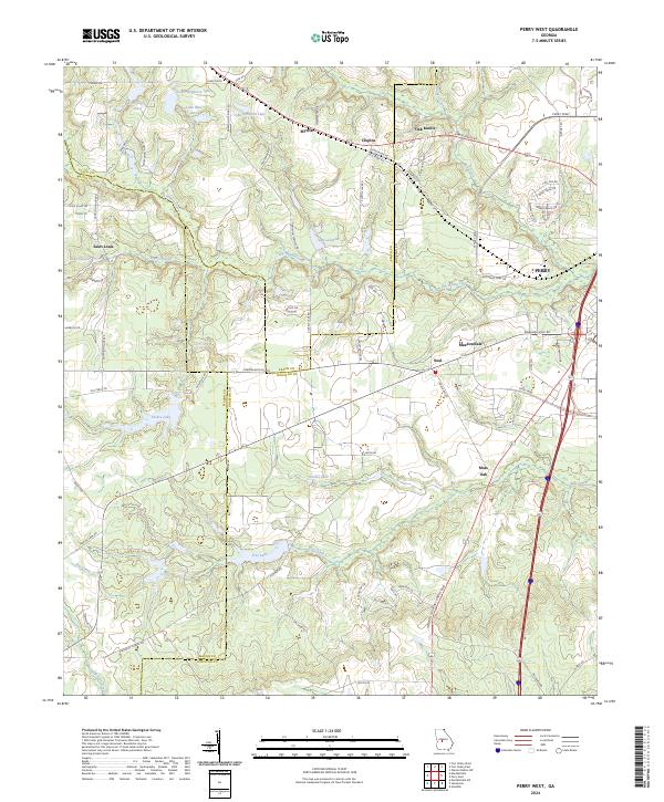
2024 Perry West
Houston County, GA
2024 Warner Robins SE
Houston County, GA
2024 Warner Robins SW
Houston County, GA