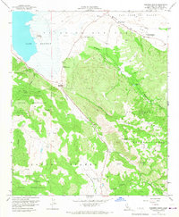
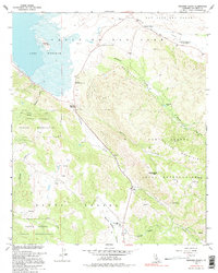
1960 Map of Warners Ranch
USGS Topo · Published 1967About this map
Lake Henshaw dominates the northwestern landscape of this San Diego County quadrangle, situated where the high desert meets the Santa Ysabel Volcan Mountains. The map documents a convergence of transportation and ranching history, centering on the famed Warners Ranch and its connection to the southern emigrant trails. Historic landmarks are noted throughout the valley floor of San Jose Del Valle, including a Butterfield Stage Station (Historical Marker) along the San Felipe Road.
Find a feature on this map
35 named features on this map. Tap any name to fly to it.
Don’t see what you’re looking for? This feature index may not catch every label — zoom into the map to look around manually.
Map Details
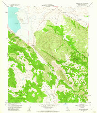
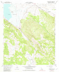
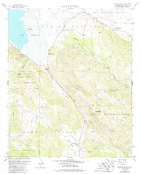
Editions of this 1960 Warners Ranch Map
5 editions found
Other maps of this area

1903 · Ramona
USGS Topo · 1:125,000

1904 · Southern California Sheet No. 2
USGS Topo · 1:250,000

1939 · Warner Springs
USGS Topo · 1:62,500

1939 · Santa Ysabel
USGS Topo · 1:62,500

1939 · Palomar Mountain
USGS Topo · 1:62,500

1942 · Ramona
USGS Topo · 1:62,500

1943 · Santa Ysabel
USGS Topo · 1:62,500

1943 · Warner Springs
USGS Topo · 1:62,500

1947 · Ramona
USGS Topo · 1:62,500

1947 · Santa Ana
USGS Topo · 1:250,000