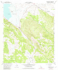
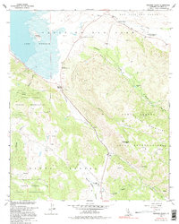
1960 Map of Warners Ranch
USGS Topo · Published 1982About this map
Warners Ranch and the surrounding Valle de San Jose define this landscape on the edge of Lake Henshaw in the 1950s and 60s. The map captures a transition between the open cattle-grazing lands of the San Jose del Valle and the steep, wooded slopes of the Santa Ysabel Volcan Mountains. Researchers will find significant cultural markers of early California transit, most notably the Butterfield Stage Station along the San Felipe Valley Road.
Find a feature on this map
34 named features on this map. Tap any name to fly to it.
Don’t see what you’re looking for? This feature index may not catch every label — zoom into the map to look around manually.
Map Details
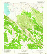
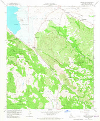
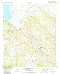
Editions of this 1960 Warners Ranch Map
5 editions found
Other maps of this area

1903 · Ramona
USGS Topo · 1:125,000

1904 · Southern California Sheet No. 2
USGS Topo · 1:250,000

1939 · Warner Springs
USGS Topo · 1:62,500

1939 · Santa Ysabel
USGS Topo · 1:62,500

1939 · Palomar Mountain
USGS Topo · 1:62,500

1942 · Ramona
USGS Topo · 1:62,500

1943 · Santa Ysabel
USGS Topo · 1:62,500

1943 · Warner Springs
USGS Topo · 1:62,500

1947 · Ramona
USGS Topo · 1:62,500

1947 · Santa Ana
USGS Topo · 1:250,000