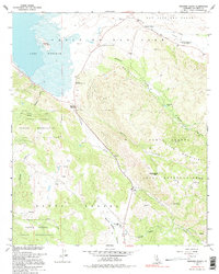
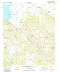
1960 Map of Warners Ranch
USGS Topo · Published 1995About this map
Lake Henshaw dominates the northwestern landscape, flooding a portion of the high mountain basin where the Santa Ysabel Indian Reservation meets the historic land grants of the Valle de San Jose (Portilla). This 1960s-era topographic view captures the region's transition from a working ranching economy to a managed watershed. The map records several vital human outposts, including the crossroads at Morettis Junction and the namesake Warners Ranch, which marks a critical node on the overland route from the desert to the coast.
Find a feature on this map
32 named features on this map. Tap any name to fly to it.
Don’t see what you’re looking for? This feature index may not catch every label — zoom into the map to look around manually.
Map Details
Editions of this 1960 Warners Ranch Map
5 editions found
Other maps of this area

1903 · Ramona
USGS Topo · 1:125,000

1904 · Southern California Sheet No. 2
USGS Topo · 1:250,000

1939 · Warner Springs
USGS Topo · 1:62,500

1939 · Santa Ysabel
USGS Topo · 1:62,500

1939 · Palomar Mountain
USGS Topo · 1:62,500

1942 · Ramona
USGS Topo · 1:62,500

1943 · Santa Ysabel
USGS Topo · 1:62,500

1943 · Warner Springs
USGS Topo · 1:62,500

1947 · Ramona
USGS Topo · 1:62,500

1947 · Santa Ana
USGS Topo · 1:250,000