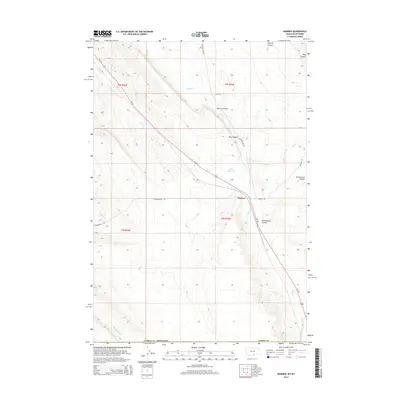
2014 Map of Warren
USGS Topo · Published 2014About this map
Warren serves as a small point of interest in the southern reaches of Carbon County, situated along the critical transit corridor of Us-310. The landscape is defined by the drainage systems of Sage Creek and Jack Creek, which cut through the terrain to create distinctive geological features like Inferno Canyon and King Canyon. This 2014 survey captures a rural environment where infrastructure is closely tied to the natural topography, including the historic Railroad Bed Rd and Quarry Rd which point to the area's industrial and transport history.
Find a feature on this map
21 named features on this map. Tap any name to fly to it.
Don’t see what you’re looking for? This feature index may not catch every label — zoom into the map to look around manually.
Map Details
Editions of this 2014 Warren Map
This is the sole edition of this map. No revisions or reprints were ever made.
Other maps of this area

1954 · Billings
USGS Topo · 1:250,000

1955 · Cody
USGS Topo · 1:250,000

1957 · Billings
USGS Topo · 1:250,000

1958 · Billings
USGS Topo · 1:250,000

1958 · Cody
USGS Topo · 1:250,000

1962 · Cody
USGS Topo · 1:250,000

1966 · Frannie
USGS Topo · 1:24,000

1966 · Elk Basin
USGS Topo · 1:24,000

1966 · Deaver Reservoir
USGS Topo · 1:24,000

1969 · Warren
USGS Topo · 1:24,000