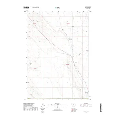
2020 Map of Warren
USGS Topo · Published 2020About this map
Warren serves as a central point of reference in this Carbon County landscape, situated where the high desert terrain of southern Montana meets a network of drainages and infrastructure. The map reveals a region defined by its water management and transportation history, specifically through the presence of the Frannie Canal and several roads that follow old paths, such as Railroad Grade Rd and Rail Bed Rd. These routes suggest a legacy of rail-based commerce or industry that once connected this area to larger regional hubs. The geography is deeply incised by natural features like Inferno Canyon, King Canyon, and Cottonwood Coulee, which dictate the local topography. Further south, the terrain descends toward Bear Canyon, while seasonal watercourses like Sage Cr and Jack Cr cross the plains, illustrating the typical drainage patterns of this arid environment.
Find a feature on this map
22 named features on this map. Tap any name to fly to it.
Don’t see what you’re looking for? This feature index may not catch every label — zoom into the map to look around manually.
Map Details
Editions of this 2020 Warren Map
This is the sole edition of this map. No revisions or reprints were ever made.
Other maps of this area

1954 · Billings
USGS Topo · 1:250,000

1955 · Cody
USGS Topo · 1:250,000

1957 · Billings
USGS Topo · 1:250,000

1958 · Billings
USGS Topo · 1:250,000

1958 · Cody
USGS Topo · 1:250,000

1962 · Cody
USGS Topo · 1:250,000

1966 · Frannie
USGS Topo · 1:24,000

1966 · Elk Basin
USGS Topo · 1:24,000

1966 · Deaver Reservoir
USGS Topo · 1:24,000

1969 · Warren
USGS Topo · 1:24,000