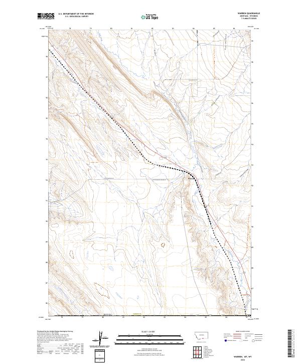
2024 Map of Warren
USGS Topo · Published 2024About this map
The settlement of Warren serves as a focal point in this portion of Carbon County, where the foothills of the Pryor Mountains meet the drainage systems of the Bighorn Basin. The landscape is defined by a series of deep erosional features including Inferno Canyon, King Canyon, and Cottonwood Draw, which channel seasonal runoff toward Sage Creek. The historical transport infrastructure of the region is evident in the alignment of Rail Bed RD and Railroad Grade RD, indicating the legacy of rail operations that once served this rural corridor. Agricultural development is concentrated in the south, where the Frannie Canal provides essential irrigation. This modern survey illustrates the persistent relationship between the high relief of the mountains and the managed water systems, such as Piney Creek and Cottonwood Creek, that support life in this arid borderland between Montana and Wyoming.
Find a feature on this map
21 named features on this map. Tap any name to fly to it.
Don’t see what you’re looking for? This feature index may not catch every label — zoom into the map to look around manually.
Map Details
Editions of this 2024 Warren Map
This is the sole edition of this map. No revisions or reprints were ever made.
Other maps of this area

1954 · Billings
USGS Topo · 1:250,000

1955 · Cody
USGS Topo · 1:250,000

1957 · Billings
USGS Topo · 1:250,000

1958 · Billings
USGS Topo · 1:250,000

1958 · Cody
USGS Topo · 1:250,000

1962 · Cody
USGS Topo · 1:250,000

1966 · Frannie
USGS Topo · 1:24,000

1966 · Elk Basin
USGS Topo · 1:24,000

1966 · Deaver Reservoir
USGS Topo · 1:24,000

1969 · Warren
USGS Topo · 1:24,000