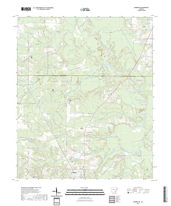
2024 Map of Warren NE
USGS Topo · Published 2024About this map
The Saline River meanders through the northeast corner of this Arkansas landscape, defining the boundary between Cleveland and Bradley counties. This rural region is dominated by a network of creeks and drainage branches, including Seay Creek, Crane Creek, and Walnut Creek, which feed into the primary river valley. Near the southern edge, the northern outskirts of Warren appear, where the local transportation hub connects to major routes like Bus 63.
Find a feature on this map
65 named features on this map. Tap any name to fly to it.
Don’t see what you’re looking for? This feature index may not catch every label — zoom into the map to look around manually.
Map Details
Editions of this 2024 Warren NE Map
This is the sole edition of this map. No revisions or reprints were ever made.
Other maps of this area

1935 · Feenyville
USGS Topo · 1:62,500

1953 · Greenwood
USGS Topo · 1:250,000

1953 · El Dorado
USGS Topo · 1:250,000

1956 · Greenwood
USGS Topo · 1:250,000

1957 · El Dorado
USGS Topo · 1:250,000

1958 · El Dorado
USGS Topo · 1:250,000

1960 · El Dorado
USGS Topo · 1:250,000

1970 · New Edinburg
USGS Topo · 1:24,000

1970 · Herbine
USGS Topo · 1:24,000
1972 · Wilmar South
USGS Topo · 1:24,000