
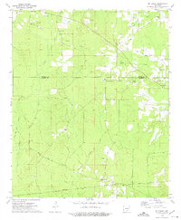
1970 Map of New Edinburg
USGS Topo · Published 1972About this map
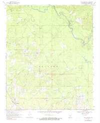
New Edinburg stands at the southwestern edge of this Arkansas landscape, where the terrain begins to slope toward the bottomlands of the Saline River. The area is defined by a dense network of country churches and small family burial grounds that reflect the deep-rooted community structure of Cleveland County. Landmarks such as Hebron Ch, St Francis Ch, and Piney Grove Ch appear alongside family-named sites like Marks Cem and Moseley Cem. In the northeast, the settlement of Mt Elba is positioned near the river's winding course and the neighboring Mt Elba Ch. The hydrography is particularly detailed, tracing the winding paths of Hall Creek, Cottonmouth Creek, and Frazier Creek as they drain into the river valley, while Crane Lake provides a distinct landmark in the eastern flats.
Find a feature on this map
19 named features on this map. Tap any name to fly to it.
Don’t see what you’re looking for? This feature index may not catch every label — zoom into the map to look around manually.
Map Details
Editions of this 1970 New Edinburg Map
2 editions found
Other maps of this area

1953 · El Dorado
USGS Topo · 1:250,000

1957 · El Dorado
USGS Topo · 1:250,000

1958 · El Dorado
USGS Topo · 1:250,000

1960 · El Dorado
USGS Topo · 1:250,000

1966 · Kingsland
USGS Topo · 1:24,000
1970 · Fordyce NE
USGS Topo · 1:24,000
1970 · Calmer
USGS Topo · 1:24,000

1970 · Herbine
USGS Topo · 1:24,000
1970 · Rison
USGS Topo · 1:24,000
1973 · Mc Kinney
USGS Topo · 1:24,000