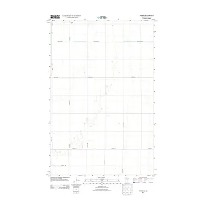
2013 Map of Warren SW
USGS Topo · Published 2013About this map
Nyskoga Cem stands near the northern boundary of this Polk County landscape, providing a specific point of reference for genealogists and local historians. This region is defined by its highly organized grid of rural infrastructure, where long straightaways like 430th Ave NW and Center St W segment the agricultural land. The intricate network of drainage is a central theme, anchored by the Judicial Ditch Number Seventyfive, also labeled as Judicial Ditch 75, which cuts horizontally across the terrain to manage the water levels of this low-lying prairie. Movement through the area is facilitated by MN-220, which curves through the western portion of the map, connecting these remote townships to the larger regional transit corridors of northwestern Minnesota.
Find a feature on this map
15 named features on this map. Tap any name to fly to it.
Don’t see what you’re looking for? This feature index may not catch every label — zoom into the map to look around manually.
Map Details
Editions of this 2013 Warren SW Map
This is the sole edition of this map. No revisions or reprints were ever made.
Other maps of this area

1918 · Warren
USGS Topo · 1:62,500

1934 · Grand Forks
USGS Topo · 1:24,000

1934 · Grand Forks
USGS Topo · 1:62,500

1938 · Grand Forks
USGS Topo · 1:62,500

1952 · Grand Forks
USGS Topo · 1:250,000

1952 · Thief River Falls
USGS Topo · 1:250,000

1955 · Warren
USGS Topo · 1:62,500

1956 · Thief River Falls
USGS Topo · 1:250,000

1956 · Grand Forks
USGS Topo · 1:250,000

1957 · Thief River Falls
USGS Topo · 1:250,000