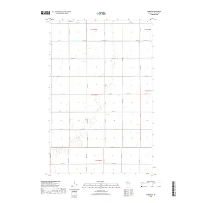
2019 Map of Warren SW
USGS Topo · Published 2019About this map
Nyskoga Cem sits on the northern edge of this Polk County landscape, a marker of the enduring rural community in the Red River Valley. The terrain is defined by a meticulous grid of section lines and gravel roads, including 430th Ave NW and 400th Ave NW, which serve the expansive agricultural fields. This 2019 survey illustrates the critical role of water management in the region, dominated by the straight-line engineering of Judicial Ditch Number Seventyfive, also labeled as Judicial Ditch 75. The map provides a clear view of the transport network, where county routes like Co Hwy 21 and Co Hwy 67 facilitate the movement of goods through this sparsely populated but highly organized farming district.
Find a feature on this map
40 named features on this map. Tap any name to fly to it.
Don’t see what you’re looking for? This feature index may not catch every label — zoom into the map to look around manually.
Map Details
Editions of this 2019 Warren SW Map
This is the sole edition of this map. No revisions or reprints were ever made.
Other maps of this area

1918 · Warren
USGS Topo · 1:62,500

1934 · Grand Forks
USGS Topo · 1:24,000

1934 · Grand Forks
USGS Topo · 1:62,500

1938 · Grand Forks
USGS Topo · 1:62,500

1952 · Grand Forks
USGS Topo · 1:250,000

1952 · Thief River Falls
USGS Topo · 1:250,000

1955 · Warren
USGS Topo · 1:62,500

1956 · Thief River Falls
USGS Topo · 1:250,000

1956 · Grand Forks
USGS Topo · 1:250,000

1957 · Thief River Falls
USGS Topo · 1:250,000