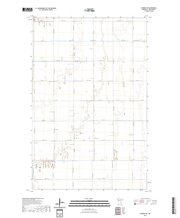
2022 Map of Warren SW
USGS Topo · Published 2022About this map
Agricultural patterns in northwestern Minnesota define this landscape near the Polk County line, where the land is organized by a precise grid of section lines and township boundaries. The northern portion of the area is dominated by the drainage infrastructure of Judicial Ditch Number Seventyfive, also labeled as Judicial Ditch 75, which runs east-to-west to manage the low-lying terrain of the Red River Valley.
Find a feature on this map
38 named features on this map. Tap any name to fly to it.
Don’t see what you’re looking for? This feature index may not catch every label — zoom into the map to look around manually.
Map Details
Editions of this 2022 Warren SW Map
This is the sole edition of this map. No revisions or reprints were ever made.
Other maps of this area

1918 · Warren
USGS Topo · 1:62,500

1934 · Grand Forks
USGS Topo · 1:24,000

1934 · Grand Forks
USGS Topo · 1:62,500

1938 · Grand Forks
USGS Topo · 1:62,500

1952 · Grand Forks
USGS Topo · 1:250,000

1952 · Thief River Falls
USGS Topo · 1:250,000

1955 · Warren
USGS Topo · 1:62,500

1956 · Thief River Falls
USGS Topo · 1:250,000

1956 · Grand Forks
USGS Topo · 1:250,000

1957 · Thief River Falls
USGS Topo · 1:250,000