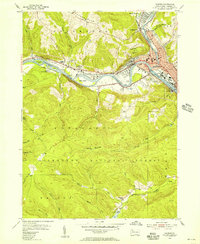
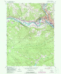
1954 Map of Warren
USGS Topo · Published 1956About this map
The confluence of the Allegheny River and Conewango Creek anchors this mid-century view of northwestern Pennsylvania. In Warren, the landscape is defined by industrial infrastructure, including an Oil Refinery and several Oil Field areas that speak to the region's long petroleum history. The river corridor serves as a busy transit artery, shared by the New York Central and Pennsylvania Railroad as they pass through Starbrick and Jackson Crossing. Beyond the urban centers of North Warren and Venturetown, the terrain rises toward Yankee Bush Hill and the protected lands of the Allegheny National Forest. Cultural landmarks of the era are visible near the riverbanks, including the Drive-in Theater west of town and the Warren Airport, while genealogists can locate several burial grounds like Oakland Cem and St Josephs Cem overlooking the river bends.
Find a feature on this map
56 named features on this map. Tap any name to fly to it.
Don’t see what you’re looking for? This feature index may not catch every label — zoom into the map to look around manually.
Map Details
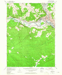
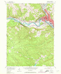
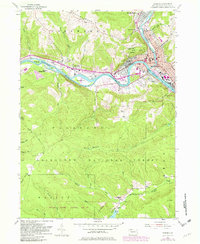
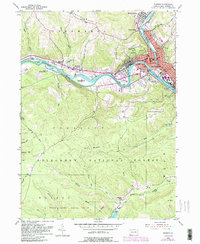
Editions of this 1954 Warren Map
6 editions found
Other maps of this area

1906 · Warren
USGS Topo · 1:62,500

1907 · Warren
USGS Topo · 1:62,500

1908 · Warren
USGS Topo · 1:62,500

1926 · Youngsville
USGS Topo · 1:62,500

1927 · Tidioute
USGS Topo · 1:48,000

1929 · Youngsville
USGS Topo · 1:62,500

1930 · Tidioute
USGS Topo · 1:62,500

1935 · Sheffield
USGS Topo · 1:48,000

1941 · Sheffield
USGS Topo · 1:62,500

1943 · Youngsville
USGS Topo · 1:62,500
Featured Places
- Warren, PA
- North Warren, Conewango Township
- Glade Township, PA
- Watson Township, PA
- Hazeltine Corners, Warren